
The deed and legal description
Plus a plat or survey if one exists, even an old one.
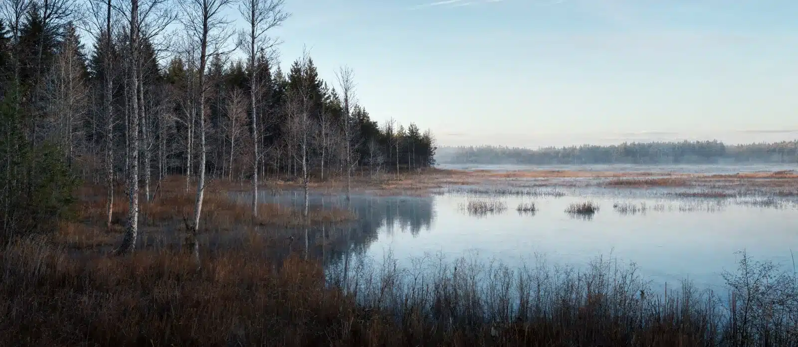
Some parcels cannot be built on and never will be: no legal access, wetland across the whole delineation, a floodplain, a slope, a setback line, a lot platted before anyone checked. The tax bill still arrives. Land like this is reviewed rather than refused, and the reasons it cannot be developed are often the reasons somebody else wants it.
Every property gets a look. Name, phone and email are the only required fields.
Usually one of six. The lot is smaller than current zoning allows or cannot meet setbacks. There is no legal access, only a neighbor’s goodwill. A wetland delineation covers the buildable area. The parcel sits in a floodway where fill is prohibited. The slope or the soil will not carry a foundation or a septic field. Or a coastal construction line, a conservation restriction or a deed covenant puts development off the table.
Most owners discover this the year they try to sell. A parcel that has been on the tax roll since the 1960s turns out to be unpermittable, the listing expires, and the annual bill continues. Nothing about that history stops a gift.
Access by necessity, prescriptive use and a willing neighbor are all real possibilities, and a title examination often finds an access route the owner did not know existed.
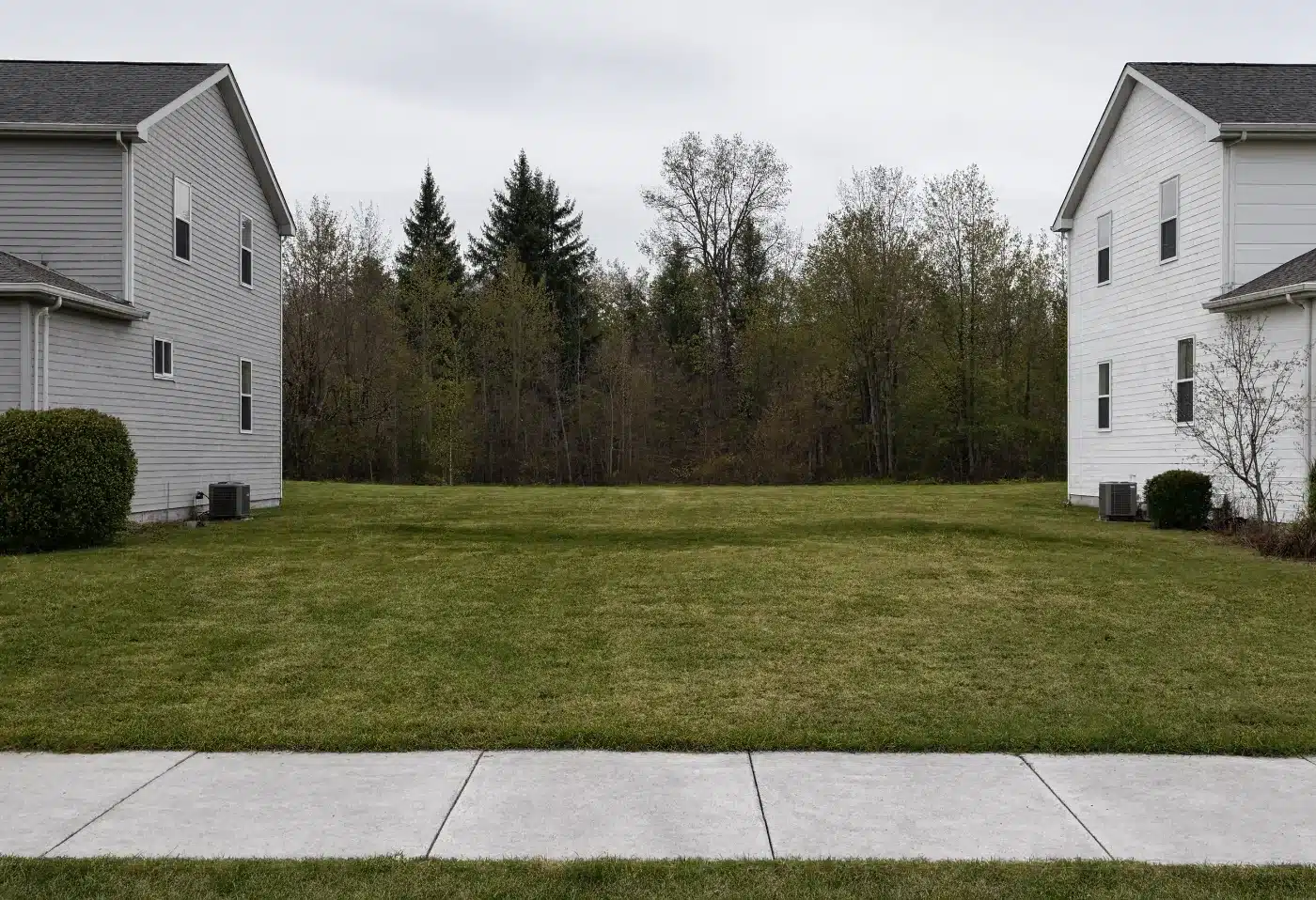
Adjoining owners, first. A strip that is useless alone is worth real money to the person whose fence line it touches, for privacy, frontage, or simply to control what happens next door. Beyond that: conservation buyers and land trusts, municipalities assembling greenway or drainage corridors, hunting and recreation buyers for larger tracts, and timber operators where there is standing merchantable wood.
Wetland and floodplain parcels have their own market through mitigation banking, where protected land generates credits that offset development elsewhere. That market is regulated and technical, and it is one reason a delineation report is worth sending with the deed.
Documents that answer the access and the water question move fastest.
Plus a plat or survey if one exists, even an old one.
A permit denial, a wetland delineation, a zoning determination, a FEMA flood map panel. These help rather than hurt.
The annual bill and whether anything is behind. See property with back taxes if it is.
Often more than the owner expects, and the buyer is usually the neighbor rather than the open market. Value comes from assembly, access, conservation, timber or recreation rather than from a building permit. An appraiser who works in rural and remnant land will find the comparables.
Yes. Title passes whether or not there is a road to it. Whether access can be obtained is a separate question, and one worth answering during the review rather than after.
A qualified conservation contribution is a real option with its own rules, its own appraisal standards and a high level of IRS scrutiny. It is not a decision to make from a web page. Tell us what the land is and we will talk through whether it is worth discussing with your advisor.
That is the honest case to raise on the phone. What decides it is whether the cost to clear the arrears is below what the land can sell for. Where it is not, other routes exist, including a local sale with a cash gift of the proceeds, receipted. We would rather say that plainly than string it out.
Yes, and it is usually the better way. One appraisal, one transfer, one Form 8283 covering a group of similar parcels. Send the parcel numbers and the county.
We do not provide tax or legal advice. See IRS Publication 526, Publication 561 and the Form 8283 instructions, and consult your own advisor.
The county and the parcel number are enough to start.